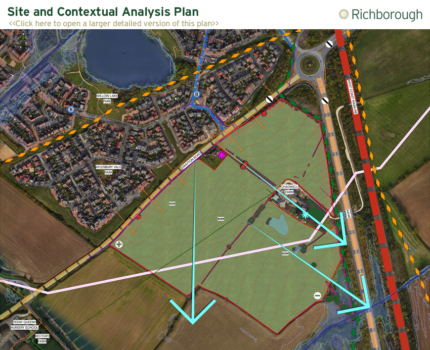
Design Context
Careful consideration and design evolution has been given to the Development Framework Plan to achieve a sustainable, connected, and distinctive development for Newton Leys.
In designing the Development Framework Plan, attention has been given to the sites edge of settlement location, through the design of viewing corridors through the development and carefully designed block structures to allow glimpse views out to surrounding countryside views, internally maximising a visually connected development with its surrounding context. Users will be guided through tree lined primary routes with planted swales. Along these routes there are clear and legible breaks in development with use of public open spaces, equipped areas of play and large planted verges. A gradual reduction in street type will lead users out to the wider public open spaces with large areas of incidental spaces, community allotments, orchards, and pedestrian/cycle routes peripheral to the site.
Further landscaping and wildlife zones have been proposed along the eastern, southern, and western edges providing a wealth of ecological and biodiversity enhancements.
The Development Framework plan has been evolved and guided by considerations of landscape character, key viewing corridors and demonstration of a clear transition to the countryside edge, and also retains all existing vegetation on site which will be retained and enhanced where possible.
